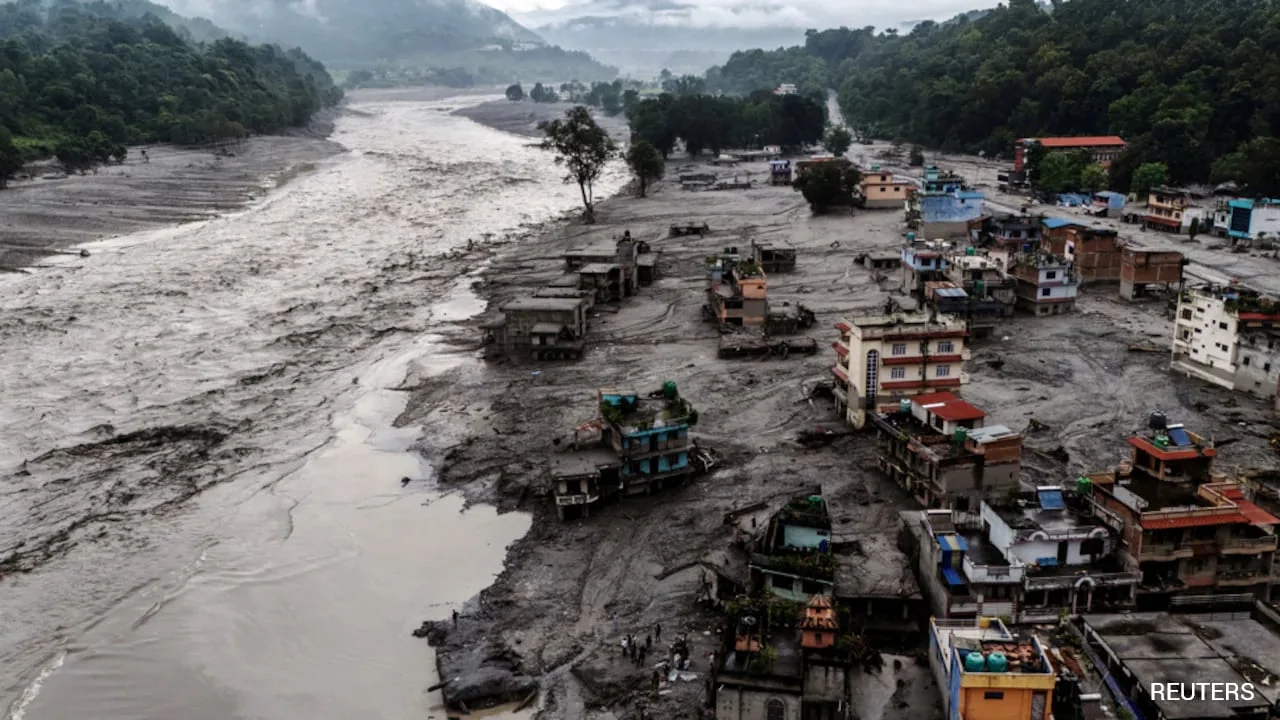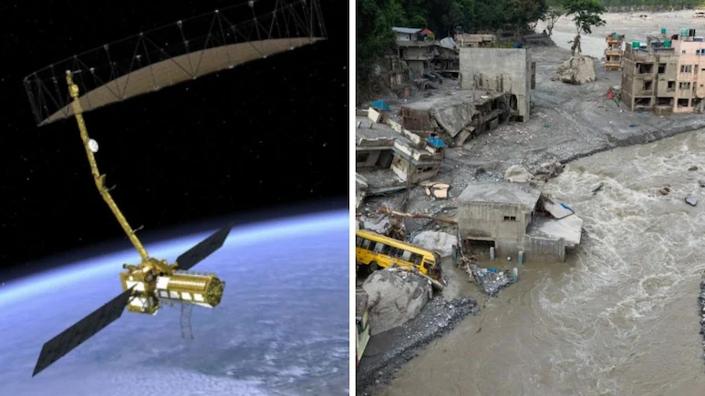
This is NISAR satellite’s moment of truth: the world’s most expensive civilian Earth imaging satellite was built to track Himalayan hazards among others. Why is it missing in action from the Nepal flood story?
That question becomes even more striking when one revisits the ambitions articulated by NASA and ISRO themselves. NASA has repeatedly stated that NISAR would help track disasters, monitor ecosystems and crops, study glaciers and ice sheets, and understand how Earth’s surface moves and changes. NISAR mission’s primary objectives are to study land & ice deformation, land ecosystems, and oceanic regions in areas of common interest to the US and Indian science communities. The NISAR (NASA-ISRO Synthetic Aperture Radar) mission is a joint collaboration between NASA and the Indian Space Research Organisation (ISRO) – a satellite equipped with advanced radar instruments for Earth observation. It aims to provide high-resolution measurements of Earth’s surface changes, such as tectonic shifts, glaciers, and forest disturbances, enhancing our understanding of natural hazards and climate change. It’s not that NISAR has not assisted in disasters. NASA satellites are providing critical support, capturing imagery and data to help teams on the ground assess impacts and guide response efforts. This map, created with data from the NISAR mission, shows how the quakes shifted the land surface, offering key insights for emergency managers and scientists. Perhaps detailed analyses are underway and will emerge in the coming weeks. Perhaps scientists need time to process data and validate conclusions. Those are entirely plausible explanations.
“NISAR will image the global land and ice-covered surfaces, including islands, sea-ice and selected oceans every 12 days. On August 17, 2026 in a public statement ISRO said: “NISAR continues to systematically collect precious data to understand the Earth’s dynamics to drive advancements across multiple scientific disciplines, including ecosystem, solid earth, cryosphere, hydrology, oceanography, coastal-processes, geoscience and disaster response. On June 29, 2026, NASA’s JPL said in a statement: “Two powerful earthquakes struck Venezuela. This came within days of the 7.2 magnitude earthquake that struck Venezuela on June 24, 2026.
NASA said the data it provides will help protect lives, support the management of natural resources, and give us a deeper understanding of our changing planet than ever before.
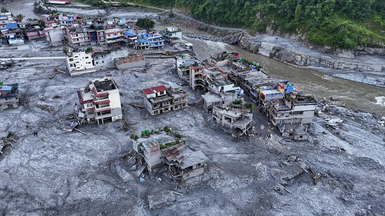
NISAR satellite is the world’s most expensive civilian earth imaging satellite, it was supposed to decode the Nepal floods. Instead, it appears missing in action. What went wrong?
At a time when hundreds of lives have been lost and scientists are trying to understand what happened in Nepal, the world would naturally expect NISAR satellites and its data to be at the forefront of that effort. Equipped with advanced dual-frequency radar and capable of measuring changes on Earth’s surface to millimetre precision, NISAR satellite, also dubbed the Nisarga satellite, was expected to monitor glaciers, detect ground deformation, track landslides, study earthquakes, and provide crucial information for disaster management. The uncomfortable question being asked by scientists, disaster experts, and policymakers is this: if the world’s most sophisticated civilian Earth imaging satellite is now in orbit and systematically collecting data, why has there been no public NISAR-based assessment, warning insight, or major scientific analysis explaining the origins and evolution of one of the Himalayan region’s biggest disasters? “The data will be placed in the public archive almost instantly after processing. NASA and ISRO have agreed.
Because nASA and ISRO agreed that NISAR data would be openly available, on the Nepal tragedy the silence is particularly striking. When India and the United States launched the $1.3 billion NASA-ISRO Synthetic Aperture Radar (NISAR) mission more than a year ago, it was hailed as a revolutionary Earth observation satellite that would help humanity understand and respond to some of the planet’s biggest challenges.
This is a science mission, and all radar data will be open,” Dr Rosen had said.