
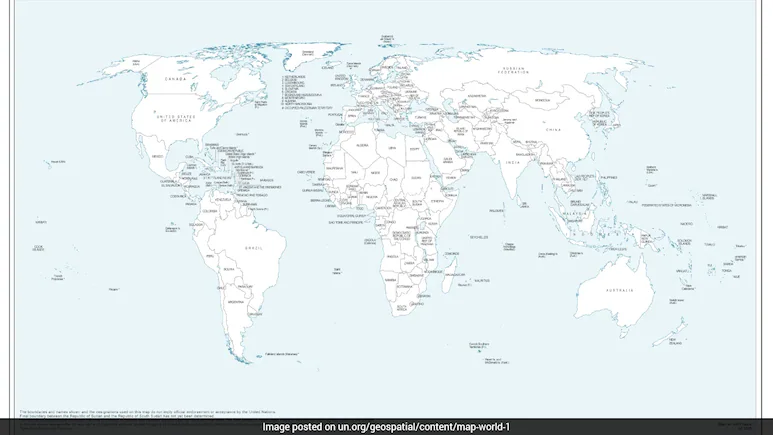
The move came days after India backed the United Nations General Assembly (UNGA) resolution calling for more accurate and equitable cartographic representation of the world’s regions.
India has flagged the “anomalies” in the new world map issued by the United Nations after it depicted Arunachal Pradesh and Aksai Chin — two integral parts of the country– as separate regions positioned between the Indian and Chinese border claims.
“On your question about the UNGA resolution, when this resolution was adopted, we favoured the resolution and voted in favour of the resolution. Jaiswal noted that there may be maps for consultation.
The foreign ministry said India has backed the resolution focused on promoting equal-area maps, but its support should not be interpreted as approval of any specific map. When the resolution was adopted in the UN General Assembly, we also made a statement where we clarified our position,” Foreign Ministry spokesperson Randhir Jaiswal said, reiterating India’s position. “The resolution is focused on the principle of having, giving weightage or giving credence to equal-area maps, so that, as we have said, the equal-area maps project or preserve the relative sizes of continental landmarks,” he added. “We have taken up the anomalies with the concerned persons,” he said. “The final status of Jammu and Kashmir has not yet been agreed upon by the parties,” it said.
