The world is witnessing the extreme impact of El Nino, a natural climate phenomenon that can shape weather patterns across the globe. But in the past few decades, the period of this weather phenomenon increased and this year, it is intensifying ahead of its forecast peak in December .
Spanish for “little boy”, El Nino was first used by the Spanish fishermen in South America in the 1600s after observing that warmer oceans would disrupt fisheries and bring intense rainfall and storms and become noticeable around Christmas.
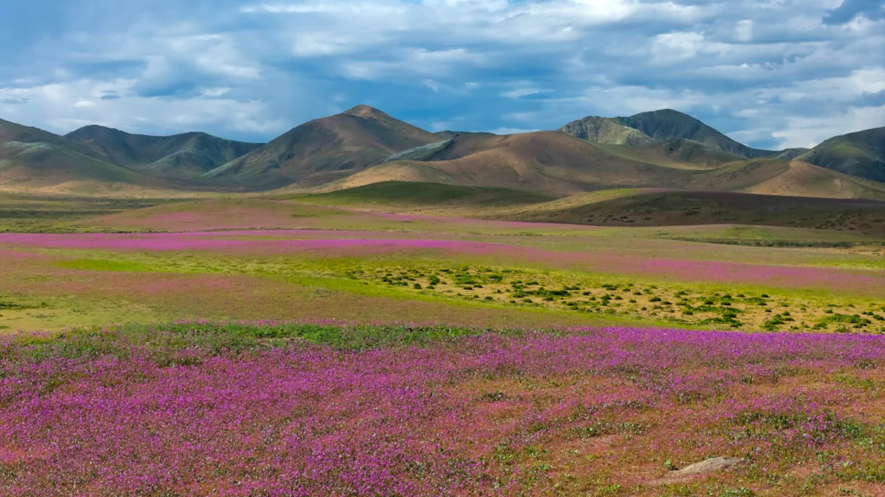
Between July and August, Chile recorded record rainfall in several regions, with some levels never seen since measurements began in the 1950s. The World Meteorological Organisation (WMO) is warning of record levels of sea-surface temperature across the planet between October and December this year. Because of heavy rain, under the influence of a strengthening El Nino, millions of seeds and bulbs from around 200 different species of flowers bloomed in Atacama in September.
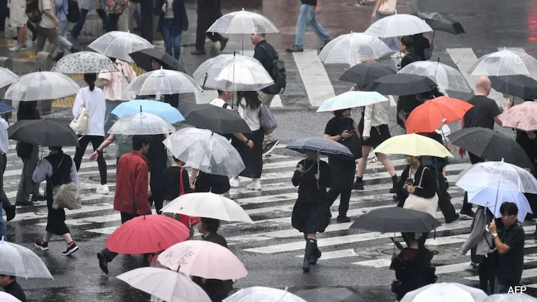
The World Meteorological Organisation (WMO), El Nino has resulted in unusual weather extremes in different parts of the world – while the Atacama Desert in Chile blossomed, Japan’s capital Tokyo recorded 35 consecutive days of rain, the longest streak since 1886.
Some parts recorded over 180 millimetres of rain, which Cesar Pizarro, head of Atacama biodiversity for Chile’s forestry body CONAF, said “had never been recorded before”.